The Old Manse, Aspatria - May 2017
Introduction
The photograph on this page of The Old Manse, Aspatria - May 2017 by The Carlisle Kid as part of the Geograph project.
The Geograph project started in 2005 with the aim of publishing, organising and preserving representative images for every square kilometre of Great Britain, Ireland and the Isle of Man.

There are currently over 7.5m images from over 14,400 individuals and you can help contribute to the project by visiting https://www.geograph.org.uk
The Old Manse, Aspatria - May 2017
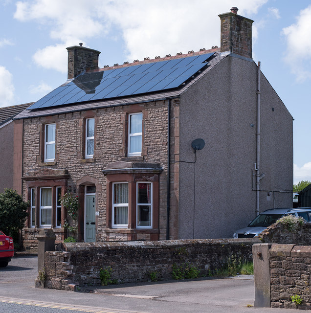
Image: © The Carlisle Kid Taken: 14 May 2017
This was the Manse for Aspatria's "Primitive Methodist" Chapel, which was situated to the left of this building. The Primitive Methodists built their Chapel and Manse here in 1886, but it closed in 1980 and was later demolished. Information on the Primitive Methodist Chapel in Aspatria may be found: http://www.myprimitivemethodists.org.uk/page/aspatria_queen_street_adjacent_to_the_railway_bridge_pm_ii_chapel_cumberland?path=0p9p22p while details of the Primitive Methodist movement can be found on Wikipedia at: https://en.wikipedia.org/wiki/Primitive_Methodism
Images are licensed for reuse under creativecommons.org/licenses/by-sa/2.0
Image Location
Latitude
54.766096
Longitude
-3.319829