Former "Globe" public house - Aspatria - May 2017
Introduction
The photograph on this page of Former "Globe" public house - Aspatria - May 2017 by The Carlisle Kid as part of the Geograph project.
The Geograph project started in 2005 with the aim of publishing, organising and preserving representative images for every square kilometre of Great Britain, Ireland and the Isle of Man.

There are currently over 7.5m images from over 14,400 individuals and you can help contribute to the project by visiting https://www.geograph.org.uk
Former "Globe" public house - Aspatria - May 2017
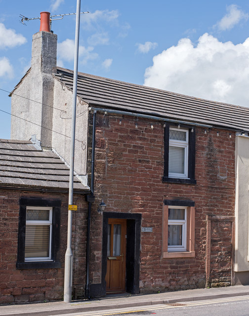
Image: © The Carlisle Kid Taken: 14 May 2017
Now a private dwelling named "The Globe Cottage", it was acquired by the State Management Scheme at an unrecorded date - probably October or November 1918 in common with other pubs in the town. Surprisingly for such small premises, it survived as a pub until sold to Greenall Whitley on 24 May 1973. Date of closure has not been found.
Images are licensed for reuse under creativecommons.org/licenses/by-sa/2.0
Image Location
Latitude
54.766739
Longitude
-3.318606