Harold Park Baptist Church
Introduction
The photograph on this page of Harold Park Baptist Church by Marathon as part of the Geograph project.
The Geograph project started in 2005 with the aim of publishing, organising and preserving representative images for every square kilometre of Great Britain, Ireland and the Isle of Man.

There are currently over 7.5m images from over 14,400 individuals and you can help contribute to the project by visiting https://www.geograph.org.uk
Harold Park Baptist Church
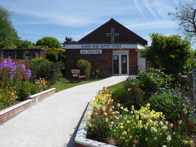
Image: © Marathon Taken: 10 May 2017
A service station on the A12 and the little Baptist church at the corner of Harold Court Road and Ingreway are among the few institutions around here to actually use the name ‘Harold Park’ rather than ‘Harold Court’. This modern church is on the north side of Ingreway, between the A12 and the main line out of Liverpool Street to East Anglia.
Images are licensed for reuse under creativecommons.org/licenses/by-sa/2.0
Image Location
Latitude
51.600684
Longitude
0.24933