The top end of Halifax FP180 on the driveway to Peacock House Farm
Introduction
The photograph on this page of The top end of Halifax FP180 on the driveway to Peacock House Farm by Humphrey Bolton as part of the Geograph project.
The Geograph project started in 2005 with the aim of publishing, organising and preserving representative images for every square kilometre of Great Britain, Ireland and the Isle of Man.

There are currently over 7.5m images from over 14,400 individuals and you can help contribute to the project by visiting https://www.geograph.org.uk
The top end of Halifax FP180 on the driveway to Peacock House Farm
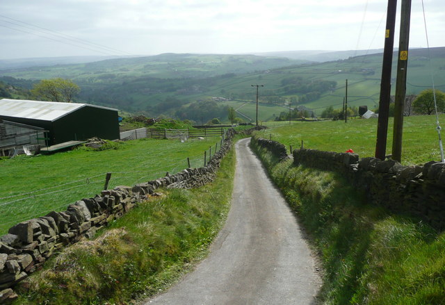
Image: © Humphrey Bolton Taken: 8 May 2017
This is really a lane, but it seems that generally lanes like this one that are not named on old maps are not on the street list and I therefore describe them as driveways.
Images are licensed for reuse under creativecommons.org/licenses/by-sa/2.0
Image Location
Latitude
53.747722
Longitude
-1.9293