The Douglas Bader Centre
Introduction
The photograph on this page of The Douglas Bader Centre by Evelyn Simak as part of the Geograph project.
The Geograph project started in 2005 with the aim of publishing, organising and preserving representative images for every square kilometre of Great Britain, Ireland and the Isle of Man.

There are currently over 7.5m images from over 14,400 individuals and you can help contribute to the project by visiting https://www.geograph.org.uk
The Douglas Bader Centre
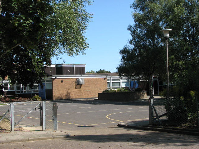
Image: © Evelyn Simak Taken: 28 Aug 2007
This used to be the RAF Coltishall community's school, which is named after one of its most famous fighter pilots, Douglas Bader. When the airfield was closed it was sold off together with all the other buildings.
Images are licensed for reuse under creativecommons.org/licenses/by-sa/2.0
Image Location
Latitude
52.759244
Longitude
1.342917