Close to the suburban fringe
Introduction
The photograph on this page of Close to the suburban fringe by Neil Owen as part of the Geograph project.
The Geograph project started in 2005 with the aim of publishing, organising and preserving representative images for every square kilometre of Great Britain, Ireland and the Isle of Man.

There are currently over 7.5m images from over 14,400 individuals and you can help contribute to the project by visiting https://www.geograph.org.uk
Close to the suburban fringe
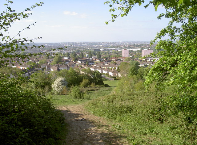
Image: © Neil Owen Taken: 9 May 2017
Dundry rises high over the southern extents of Bristol. With a short walk uphill, the city becomes more distant pretty quickly and a green wilderness welcomes the hardy.
Images are licensed for reuse under creativecommons.org/licenses/by-sa/2.0
Image Location
Latitude
51.399764
Longitude
-2.601964