Below Warner Farm
Introduction
The photograph on this page of Below Warner Farm by Neil Owen as part of the Geograph project.
The Geograph project started in 2005 with the aim of publishing, organising and preserving representative images for every square kilometre of Great Britain, Ireland and the Isle of Man.

There are currently over 7.5m images from over 14,400 individuals and you can help contribute to the project by visiting https://www.geograph.org.uk
Below Warner Farm
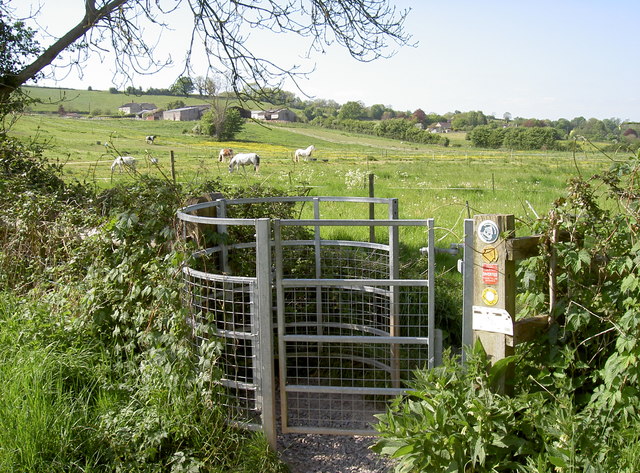
Image: © Neil Owen Taken: 9 May 2017
The Two Rivers path approaches Chewton Keynsham, passing through the horse paddocks of the farm. Among the various path markers is a small poster warning of electric fences.
Images are licensed for reuse under creativecommons.org/licenses/by-sa/2.0
Image Location
Latitude
51.392424
Longitude
-2.499104