West end of Bishop Auckland station
Introduction
The photograph on this page of West end of Bishop Auckland station by Richard Vince as part of the Geograph project.
The Geograph project started in 2005 with the aim of publishing, organising and preserving representative images for every square kilometre of Great Britain, Ireland and the Isle of Man.

There are currently over 7.5m images from over 14,400 individuals and you can help contribute to the project by visiting https://www.geograph.org.uk
West end of Bishop Auckland station
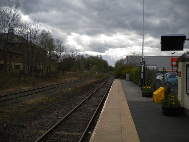
Image: © Richard Vince Taken: 10 Apr 2017
Looking west along Bishop Auckland's single platform. The line on the left is the link to the Weardale Railway; it appears to see little use.
Images are licensed for reuse under creativecommons.org/licenses/by-sa/2.0
Image Location
Latitude
54.657107
Longitude
-1.678801