Site of former fuel depot, 131-137, King Street
Introduction
The photograph on this page of Site of former fuel depot, 131-137, King Street by John Baker as part of the Geograph project.
The Geograph project started in 2005 with the aim of publishing, organising and preserving representative images for every square kilometre of Great Britain, Ireland and the Isle of Man.

There are currently over 7.5m images from over 14,400 individuals and you can help contribute to the project by visiting https://www.geograph.org.uk
Site of former fuel depot, 131-137, King Street
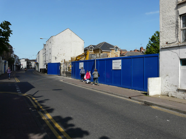
Image: © John Baker Taken: 23 Apr 2017
Planning permission was granted (although prior approval was not required) by Thanet District Council under application number DM/TH/17/0037 for an “application for prior notification of proposed demolition of fuel depot”. It would appear that demolition is in progress. These views show the former fuel depot, which I described as Image and the Image from the northwest.
Images are licensed for reuse under creativecommons.org/licenses/by-sa/2.0
Image Location
Latitude
51.336825
Longitude
1.422572