Wanstead Flats
Introduction
The photograph on this page of Wanstead Flats by Glyn Baker as part of the Geograph project.
The Geograph project started in 2005 with the aim of publishing, organising and preserving representative images for every square kilometre of Great Britain, Ireland and the Isle of Man.

There are currently over 7.5m images from over 14,400 individuals and you can help contribute to the project by visiting https://www.geograph.org.uk
Wanstead Flats
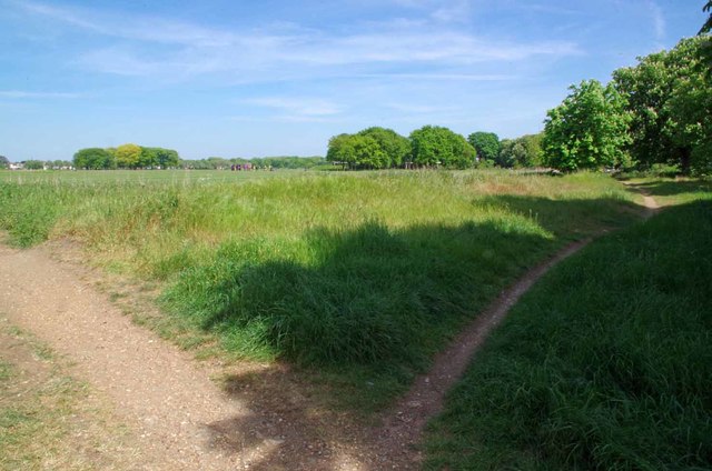
Image: © Glyn Baker Taken: 10 May 2017
"The Flats" are a remnant of the southern end of Epping Forest and are a mixture of playing fields and nature reserves. See https://www.wansteadwildlife.org.uk/index.php/home/list-of-places?id=59 for more info
Images are licensed for reuse under creativecommons.org/licenses/by-sa/2.0
Image Location
Latitude
51.554856
Longitude
0.030393