Recreation ground near Hatfield centre
Introduction
The photograph on this page of Recreation ground near Hatfield centre by Robert Eva as part of the Geograph project.
The Geograph project started in 2005 with the aim of publishing, organising and preserving representative images for every square kilometre of Great Britain, Ireland and the Isle of Man.

There are currently over 7.5m images from over 14,400 individuals and you can help contribute to the project by visiting https://www.geograph.org.uk
Recreation ground near Hatfield centre
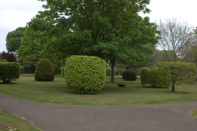
Image: © Robert Eva Taken: 6 May 2017
Off Old French Horn Lane. This little recreation ground does not appear to have any name.
Images are licensed for reuse under creativecommons.org/licenses/by-sa/2.0
Image Location
Latitude
51.764042
Longitude
-0.220509