Former Ball and Wicket pub, Upper Hale
Introduction
The photograph on this page of Former Ball and Wicket pub, Upper Hale by David960 as part of the Geograph project.
The Geograph project started in 2005 with the aim of publishing, organising and preserving representative images for every square kilometre of Great Britain, Ireland and the Isle of Man.

There are currently over 7.5m images from over 14,400 individuals and you can help contribute to the project by visiting https://www.geograph.org.uk
Former Ball and Wicket pub, Upper Hale
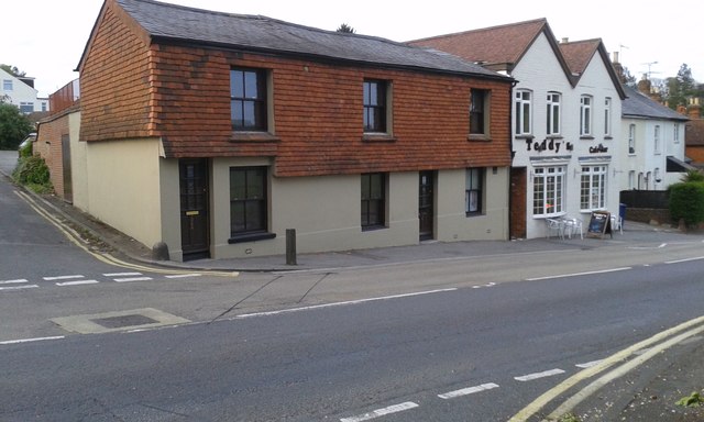
Image: © David960 Taken: 29 Apr 2017
A recently-closed pub at the junction of Upper Hale Road and Ball & Wicket Lane. Part of the former pub is now used as Teddy's Bar.
Images are licensed for reuse under creativecommons.org/licenses/by-sa/2.0
Image Location
Latitude
51.233993
Longitude
-0.796375