Holy Trinity Church, Meir
Introduction
The photograph on this page of Holy Trinity Church, Meir by David Weston as part of the Geograph project.
The Geograph project started in 2005 with the aim of publishing, organising and preserving representative images for every square kilometre of Great Britain, Ireland and the Isle of Man.

There are currently over 7.5m images from over 14,400 individuals and you can help contribute to the project by visiting https://www.geograph.org.uk
Holy Trinity Church, Meir
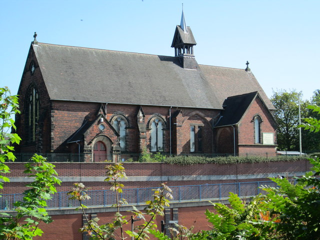
Image: © David Weston Taken: 3 May 2017
The church was built in the 1890s. Viewed from across the A50, several yards below; a short distance away, the A50 enters the tunnel under the roundabout at Meir.
Images are licensed for reuse under creativecommons.org/licenses/by-sa/2.0
Image Location
Latitude
52.978898
Longitude
-2.107189