Toton Open Space
Introduction
The photograph on this page of Toton Open Space by David Lally as part of the Geograph project.
The Geograph project started in 2005 with the aim of publishing, organising and preserving representative images for every square kilometre of Great Britain, Ireland and the Isle of Man.

There are currently over 7.5m images from over 14,400 individuals and you can help contribute to the project by visiting https://www.geograph.org.uk
Toton Open Space
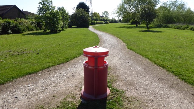
Image: © David Lally Taken: 5 May 2017
Unsure whether this counts as part of Manor Farm Park or not.
Images are licensed for reuse under creativecommons.org/licenses/by-sa/2.0
Image Location
Latitude
52.905201
Longitude
-1.263549