Bridleway between Cranborne and Pentridge
Introduction
The photograph on this page of Bridleway between Cranborne and Pentridge by Clive Perrin as part of the Geograph project.
The Geograph project started in 2005 with the aim of publishing, organising and preserving representative images for every square kilometre of Great Britain, Ireland and the Isle of Man.

There are currently over 7.5m images from over 14,400 individuals and you can help contribute to the project by visiting https://www.geograph.org.uk
Bridleway between Cranborne and Pentridge
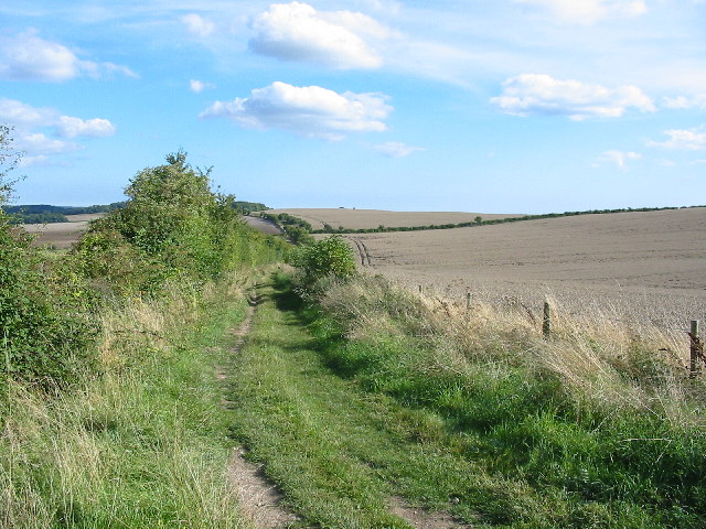
Image: © Clive Perrin Taken: 29 Aug 2005
This is a broad well used Bridleway through the large arable fields of the Cranborne Estate.The wheat has not yet been harvested.
Images are licensed for reuse under creativecommons.org/licenses/by-sa/2.0
Image Location


Leaflet Map data © OpenStreetMap
Latitude
50.947919
Longitude
-1.937316