Public House sheltering from the roundabout
Introduction
The photograph on this page of Public House sheltering from the roundabout by Martin Dawes as part of the Geograph project.
The Geograph project started in 2005 with the aim of publishing, organising and preserving representative images for every square kilometre of Great Britain, Ireland and the Isle of Man.

There are currently over 7.5m images from over 14,400 individuals and you can help contribute to the project by visiting https://www.geograph.org.uk
Public House sheltering from the roundabout
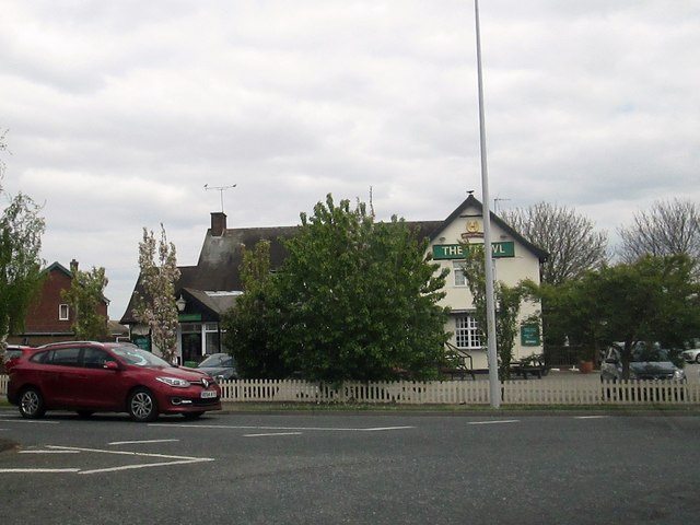
Image: © Martin Dawes Taken: 29 Apr 2017
As we are in a fishing port aptly named, The Trawl.
Images are licensed for reuse under creativecommons.org/licenses/by-sa/2.0
Image Location
Latitude
53.561736
Longitude
-0.119222