Newcastleton village
Introduction
The photograph on this page of Newcastleton village by Malcolm Neal as part of the Geograph project.
The Geograph project started in 2005 with the aim of publishing, organising and preserving representative images for every square kilometre of Great Britain, Ireland and the Isle of Man.

There are currently over 7.5m images from over 14,400 individuals and you can help contribute to the project by visiting https://www.geograph.org.uk
Newcastleton village
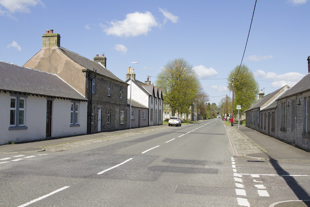
Image: © Malcolm Neal Taken: 4 May 2017
Newcastleton is a planned village and has a very American grid structure of streets all at right angles to each other. There is a main street, visible in the picture, with side streets off at regular intervals. To the right, behind the houses, runs a river with a footpath along its bank.
Images are licensed for reuse under creativecommons.org/licenses/by-sa/2.0
Image Location
Latitude
55.18224
Longitude
-2.810751