Riverbank, East Molesey
Introduction
The photograph on this page of Riverbank, East Molesey by Jaggery as part of the Geograph project.
The Geograph project started in 2005 with the aim of publishing, organising and preserving representative images for every square kilometre of Great Britain, Ireland and the Isle of Man.

There are currently over 7.5m images from over 14,400 individuals and you can help contribute to the project by visiting https://www.geograph.org.uk
Riverbank, East Molesey
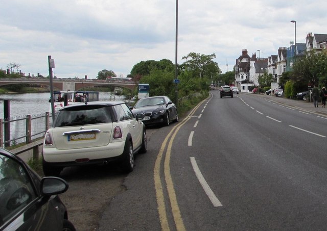
Image: © Jaggery Taken: 29 Apr 2017
On the south bank of the Thames, the A3050 is here named Riverbank. Hampton Court Bridge over the Thames is in the background.
Images are licensed for reuse under creativecommons.org/licenses/by-sa/2.0
Image Location


Leaflet Map data © OpenStreetMap
Latitude
51.403555
Longitude
-0.344236