Mander House in Wolverhampton
Introduction
The photograph on this page of Mander House in Wolverhampton by Roger D Kidd as part of the Geograph project.
The Geograph project started in 2005 with the aim of publishing, organising and preserving representative images for every square kilometre of Great Britain, Ireland and the Isle of Man.

There are currently over 7.5m images from over 14,400 individuals and you can help contribute to the project by visiting https://www.geograph.org.uk
Mander House in Wolverhampton
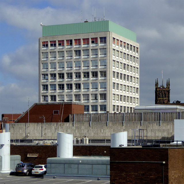
Image: © Roger D Kidd Taken: 22 Apr 2017
A telephoto assisted image looking north-north-west from the rooftop car park of the Wulfrun Centre. The tower of St Peter's Church can be seen on the right. I wonder when the letters will be replaced on Mander House. They used to glow blue in the dark.
Images are licensed for reuse under creativecommons.org/licenses/by-sa/2.0
Image Location
Latitude
52.585227
Longitude
-2.128068