Tower blocks in Wolverhampton
Introduction
The photograph on this page of Tower blocks in Wolverhampton by Roger D Kidd as part of the Geograph project.
The Geograph project started in 2005 with the aim of publishing, organising and preserving representative images for every square kilometre of Great Britain, Ireland and the Isle of Man.

There are currently over 7.5m images from over 14,400 individuals and you can help contribute to the project by visiting https://www.geograph.org.uk
Tower blocks in Wolverhampton
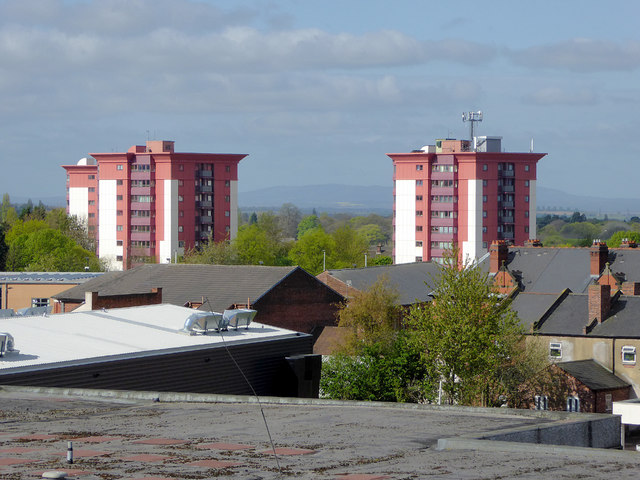
Image: © Roger D Kidd Taken: 22 Apr 2017
A telephoto assisted image taken looking across the rooftops from the rooftop car park over the Wulfrun Centre. The blocks of flats (two out of the three shown here) are in Hallet Drive about 400 metres away. The Wrekin can be seen on the horizon.
Images are licensed for reuse under creativecommons.org/licenses/by-sa/2.0
Image Location
Latitude
52.581445
Longitude
-2.13396