Macosquin River
Introduction
The photograph on this page of Macosquin River by Robert Ashby as part of the Geograph project.
The Geograph project started in 2005 with the aim of publishing, organising and preserving representative images for every square kilometre of Great Britain, Ireland and the Isle of Man.

There are currently over 7.5m images from over 14,400 individuals and you can help contribute to the project by visiting https://www.geograph.org.uk
Macosquin River
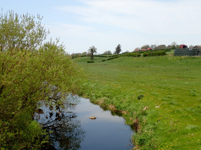
Image: © Robert Ashby Taken: 1 May 2017
View from Blacks Bridge looking NW. On my OS map it's named as the Macosquin River but a sign beside the bridge refers to it as the R.Ree. This intrigued me and on tracing its course on the map I found that it does indeed flow past a place called Ree just before emptying into the Lower Bann. The map though doesn't refer to it anywhere as the Ree.
Images are licensed for reuse under creativecommons.org/licenses/by-sa/2.0
Image Location
Latitude
55.068968
Longitude
-6.665063