Houses on Coldharbour
Introduction
The photograph on this page of Houses on Coldharbour by David Martin as part of the Geograph project.
The Geograph project started in 2005 with the aim of publishing, organising and preserving representative images for every square kilometre of Great Britain, Ireland and the Isle of Man.

There are currently over 7.5m images from over 14,400 individuals and you can help contribute to the project by visiting https://www.geograph.org.uk
Houses on Coldharbour
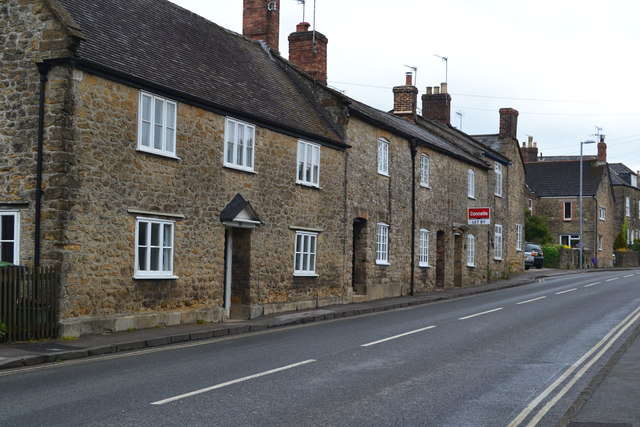
Image: © David Martin Taken: 30 Apr 2017
"Coldharbour" appears as a single word on the nearby street name sign.
Images are licensed for reuse under creativecommons.org/licenses/by-sa/2.0
Image Location
Latitude
50.95201
Longitude
-2.516009