North along National Cycle Network route 49, Cwmbran
Introduction
The photograph on this page of North along National Cycle Network route 49, Cwmbran by Jaggery as part of the Geograph project.
The Geograph project started in 2005 with the aim of publishing, organising and preserving representative images for every square kilometre of Great Britain, Ireland and the Isle of Man.

There are currently over 7.5m images from over 14,400 individuals and you can help contribute to the project by visiting https://www.geograph.org.uk
North along National Cycle Network route 49, Cwmbran
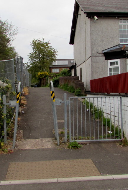
Image: © Jaggery Taken: 29 Apr 2017
The cycleway and footpath heads north away from Greenhill Road. For much of its 32km (20 miles) length from Newport to Abergavenny, Route 49 is alongside or near the Monmouthshire & Brecon canal.
Images are licensed for reuse under creativecommons.org/licenses/by-sa/2.0
Image Location
Latitude
51.656567
Longitude
-3.028491