Farmhouse at Stow House
Introduction
The photograph on this page of Farmhouse at Stow House by Robert Graham as part of the Geograph project.
The Geograph project started in 2005 with the aim of publishing, organising and preserving representative images for every square kilometre of Great Britain, Ireland and the Isle of Man.

There are currently over 7.5m images from over 14,400 individuals and you can help contribute to the project by visiting https://www.geograph.org.uk
Farmhouse at Stow House
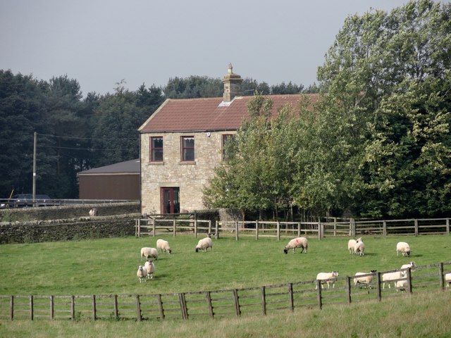
Image: © Robert Graham Taken: 21 Sep 2016
This old farm south of Cornsay, dates from the C18. However, the present farmhouse is late C19, from Ordnance Survey map evidence. It seems to have been much modified and modernised recently.
Images are licensed for reuse under creativecommons.org/licenses/by-sa/2.0
Image Location
Latitude
54.778308
Longitude
-1.789001