Abandoned House north-east of Nenthead
Introduction
The photograph on this page of Abandoned House north-east of Nenthead by G Laird as part of the Geograph project.
The Geograph project started in 2005 with the aim of publishing, organising and preserving representative images for every square kilometre of Great Britain, Ireland and the Isle of Man.

There are currently over 7.5m images from over 14,400 individuals and you can help contribute to the project by visiting https://www.geograph.org.uk
Abandoned House north-east of Nenthead
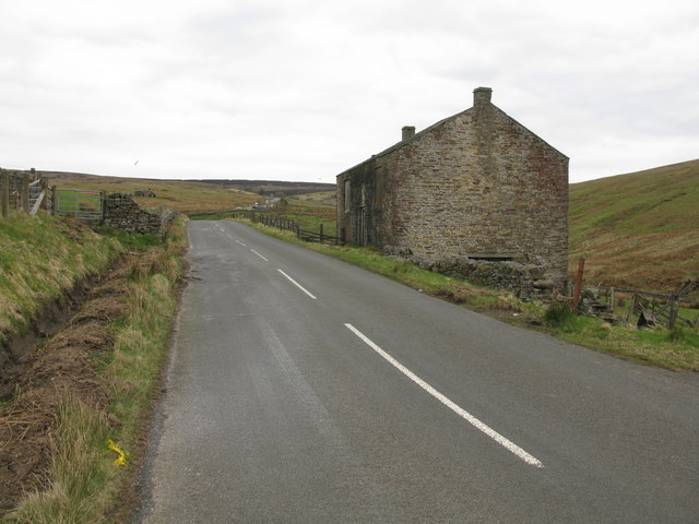
Image: © G Laird Taken: 26 Apr 2017
Just over a mile from the highest point of the road at Black Hill. The windows and doors of the house are boarded up but the house does not yet appear to be a ruin. It is however very isolated high in the Pennines.
Images are licensed for reuse under creativecommons.org/licenses/by-sa/2.0
Image Location
Latitude
54.810813
Longitude
-2.307106