High Street, Ecclefechan
Introduction
The photograph on this page of High Street, Ecclefechan by G Laird as part of the Geograph project.
The Geograph project started in 2005 with the aim of publishing, organising and preserving representative images for every square kilometre of Great Britain, Ireland and the Isle of Man.

There are currently over 7.5m images from over 14,400 individuals and you can help contribute to the project by visiting https://www.geograph.org.uk
High Street, Ecclefechan
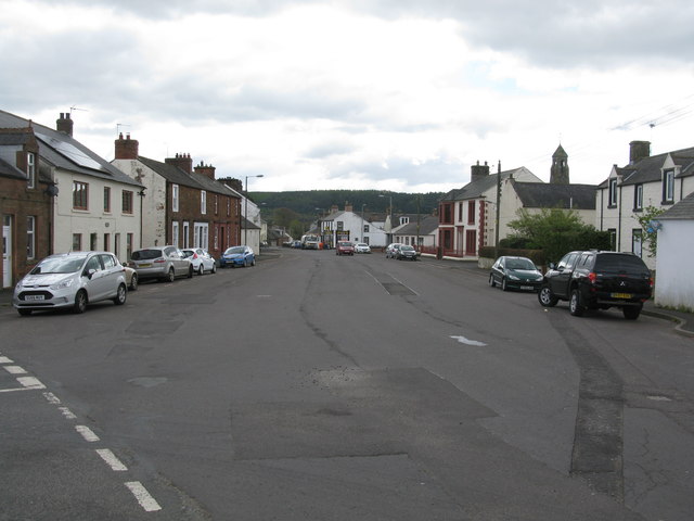
Image: © G Laird Taken: 26 Apr 2017
Until the mid 1960s, this was the A74, the main trunk road from Glasgow to Carlisle.
Images are licensed for reuse under creativecommons.org/licenses/by-sa/2.0
Image Location
Latitude
55.05983
Longitude
-3.265755