View to the northern Cotswold Hills
Introduction
The photograph on this page of View to the northern Cotswold Hills by Philip Halling as part of the Geograph project.
The Geograph project started in 2005 with the aim of publishing, organising and preserving representative images for every square kilometre of Great Britain, Ireland and the Isle of Man.

There are currently over 7.5m images from over 14,400 individuals and you can help contribute to the project by visiting https://www.geograph.org.uk
View to the northern Cotswold Hills
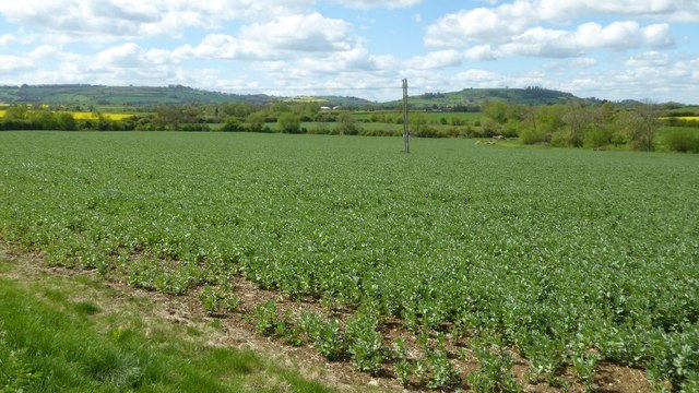
Image: © Philip Halling Taken: 25 Apr 2017
View across farmland around Admington to two of the most northerly Cotswold Hills. Most of the Cotswold Hills are within the county Gloucestershire, some in South Gloucestershire, Worcestershire and reaching eastwards to include a little of Oxfordshire. These two hills are Ilmington Down on the left, and the outlier of Meon Hill on the right. Meon Hill is the only Cotswold outlier in the county of Warwickshire, while Ilmington Down it the highest point in Warwickshire.
Images are licensed for reuse under creativecommons.org/licenses/by-sa/2.0
Image Location
Latitude
52.121551
Longitude
-1.695133