The Green, Hernhill
Introduction
The photograph on this page of The Green, Hernhill by John Baker as part of the Geograph project.
The Geograph project started in 2005 with the aim of publishing, organising and preserving representative images for every square kilometre of Great Britain, Ireland and the Isle of Man.

There are currently over 7.5m images from over 14,400 individuals and you can help contribute to the project by visiting https://www.geograph.org.uk
The Green, Hernhill
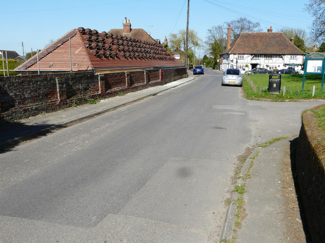
Image: © John Baker Taken: 9 Apr 2017
Opposite The Green, an outbuilding, part of Church Farm House, is being converted. Planning permission was granted by Swale Borough Council under application number SW/12/1088 for the “conversion of garages & outbuilding to holiday letting accommodation including partial demolition of garage structure”.
Images are licensed for reuse under creativecommons.org/licenses/by-sa/2.0
Image Location
Latitude
51.308119
Longitude
0.96135