216, The Street
Introduction
The photograph on this page of 216, The Street by John Baker as part of the Geograph project.
The Geograph project started in 2005 with the aim of publishing, organising and preserving representative images for every square kilometre of Great Britain, Ireland and the Isle of Man.

There are currently over 7.5m images from over 14,400 individuals and you can help contribute to the project by visiting https://www.geograph.org.uk
216, The Street
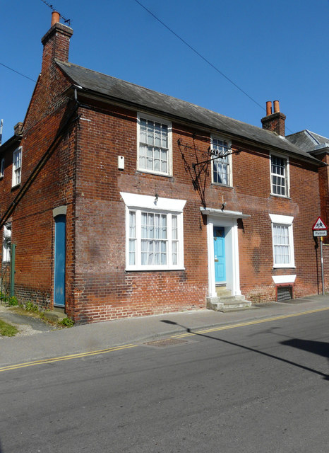
Image: © John Baker Taken: 9 Apr 2017
It has a bracket affixed to the frontage, which made me wonder if the house served another purpose in the past.
Images are licensed for reuse under creativecommons.org/licenses/by-sa/2.0
Image Location
Latitude
51.296925
Longitude
0.948721