Road junction on the A38
Introduction
The photograph on this page of Road junction on the A38 by Philip Halling as part of the Geograph project.
The Geograph project started in 2005 with the aim of publishing, organising and preserving representative images for every square kilometre of Great Britain, Ireland and the Isle of Man.

There are currently over 7.5m images from over 14,400 individuals and you can help contribute to the project by visiting https://www.geograph.org.uk
Road junction on the A38
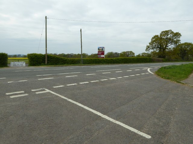
Image: © Philip Halling Taken: 19 Apr 2017
The opposite appears to have planning approval with a sign informing that 1 to 5 bedroom houses are to be built there.
Images are licensed for reuse under creativecommons.org/licenses/by-sa/2.0
Image Location
Latitude
51.665998
Longitude
-2.441089