Bridge over disused railway line, Mill Hill
Introduction
The photograph on this page of Bridge over disused railway line, Mill Hill by Christopher Hilton as part of the Geograph project.
The Geograph project started in 2005 with the aim of publishing, organising and preserving representative images for every square kilometre of Great Britain, Ireland and the Isle of Man.

There are currently over 7.5m images from over 14,400 individuals and you can help contribute to the project by visiting https://www.geograph.org.uk
Bridge over disused railway line, Mill Hill
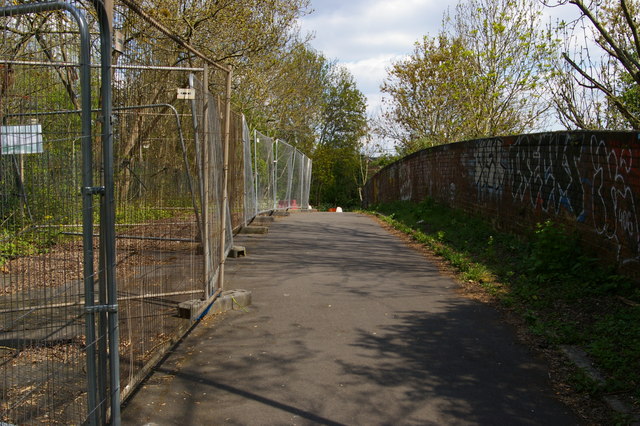
Image: © Christopher Hilton Taken: 19 Apr 2017
The bridge crosses the former railway line from Mill Hill East to Edgware, which would have become part of the London Underground Northern Line under the 1930s New Works programme (specifically the Northern Heights scheme) were it not for the intervention of war.
Images are licensed for reuse under creativecommons.org/licenses/by-sa/2.0
Image Location
Latitude
51.608482
Longitude
-0.214901