Kit Bridge
Introduction
The photograph on this page of Kit Bridge by Nigel Mykura as part of the Geograph project.
The Geograph project started in 2005 with the aim of publishing, organising and preserving representative images for every square kilometre of Great Britain, Ireland and the Isle of Man.

There are currently over 7.5m images from over 14,400 individuals and you can help contribute to the project by visiting https://www.geograph.org.uk
Kit Bridge
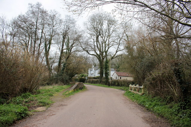
Image: © Nigel Mykura Taken: 12 Mar 2017
This is where the minor road from Chardstock to Birchill crosses the River Kit. The bridge has a raised walkway with small arches that can be used by pedestrians in time of flood.
Images are licensed for reuse under creativecommons.org/licenses/by-sa/2.0
Image Location
Latitude
50.830299
Longitude
-2.984235