Path in Falkland
Introduction
The photograph on this page of Path in Falkland by Bill Kasman as part of the Geograph project.
The Geograph project started in 2005 with the aim of publishing, organising and preserving representative images for every square kilometre of Great Britain, Ireland and the Isle of Man.

There are currently over 7.5m images from over 14,400 individuals and you can help contribute to the project by visiting https://www.geograph.org.uk
Path in Falkland
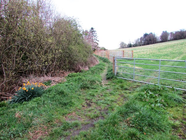
Image: © Bill Kasman Taken: 16 Apr 2017
From the top of Victoria Place Image] this path runs for about one kilometre towards Chapel Yard and Ladywell House. See also this image Image] See Falkland article http://www.geograph.org.uk/article/Falkland-An-historic-village
Images are licensed for reuse under creativecommons.org/licenses/by-sa/2.0
Image Location
Latitude
56.250197
Longitude
-3.203249