Castlereagh Presbyterian church (bell tower) (April 2017)
Introduction
The photograph on this page of Castlereagh Presbyterian church (bell tower) (April 2017) by Albert Bridge as part of the Geograph project.
The Geograph project started in 2005 with the aim of publishing, organising and preserving representative images for every square kilometre of Great Britain, Ireland and the Isle of Man.

There are currently over 7.5m images from over 14,400 individuals and you can help contribute to the project by visiting https://www.geograph.org.uk
Castlereagh Presbyterian church (bell tower) (April 2017)
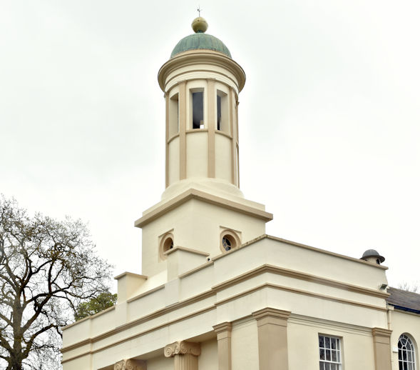
Image: © Albert Bridge Taken: 20 Apr 2017
See Image (January 2006). The belfry/bell tower. For another detailed description of the church see “Buildings of North County Down” by CEB Brett, Ulster Architectural Heritage Society, 2002 (pages 58/59).
Images are licensed for reuse under creativecommons.org/licenses/by-sa/2.0
Image Location
Latitude
54.567086
Longitude
-5.875629