Fields by High Mickley
Introduction
The photograph on this page of Fields by High Mickley by Bill Boaden as part of the Geograph project.
The Geograph project started in 2005 with the aim of publishing, organising and preserving representative images for every square kilometre of Great Britain, Ireland and the Isle of Man.

There are currently over 7.5m images from over 14,400 individuals and you can help contribute to the project by visiting https://www.geograph.org.uk
Fields by High Mickley
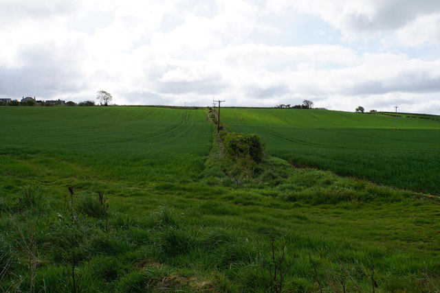
Image: © Bill Boaden Taken: 18 Apr 2017
Part of the hillside which climbs to Mickley Moor on the southern side of the Tyne valley. Some houses of High Mickley can be seen high to the left. The new crops are growing well.
Images are licensed for reuse under creativecommons.org/licenses/by-sa/2.0
Image Location
Latitude
54.947742
Longitude
-1.886783