Approaching the new bridge, Silverwoods Way, Kidderminster, Worcs
Introduction
The photograph on this page of Approaching the new bridge, Silverwoods Way, Kidderminster, Worcs by P L Chadwick as part of the Geograph project.
The Geograph project started in 2005 with the aim of publishing, organising and preserving representative images for every square kilometre of Great Britain, Ireland and the Isle of Man.

There are currently over 7.5m images from over 14,400 individuals and you can help contribute to the project by visiting https://www.geograph.org.uk
Approaching the new bridge, Silverwoods Way, Kidderminster, Worcs
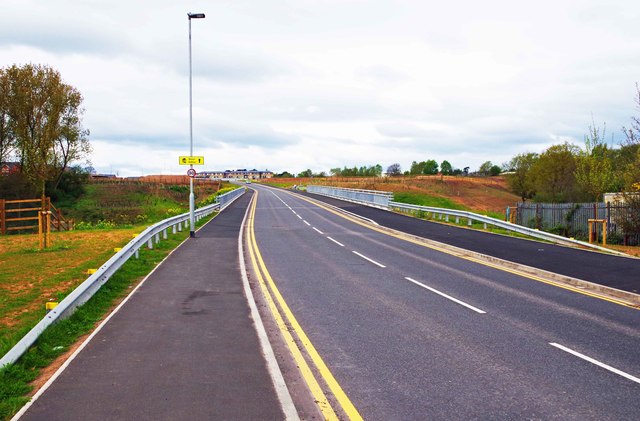
Image: © P L Chadwick Taken: 16 Apr 2017
The new bridge takes the road across the River Stour and the Staffordshire & Worcestershire Canal. It is the main road on the former British Sugar Corporation site which is currently being redeveloped. The yellow sign on the lamppost indicates that this road leads to the Stour Valley housing development. Image
Images are licensed for reuse under creativecommons.org/licenses/by-sa/2.0
Image Location
Latitude
52.371517
Longitude
-2.251268