Curving dry stone wall
Introduction
The photograph on this page of Curving dry stone wall by Trevor Littlewood as part of the Geograph project.
The Geograph project started in 2005 with the aim of publishing, organising and preserving representative images for every square kilometre of Great Britain, Ireland and the Isle of Man.

There are currently over 7.5m images from over 14,400 individuals and you can help contribute to the project by visiting https://www.geograph.org.uk
Curving dry stone wall
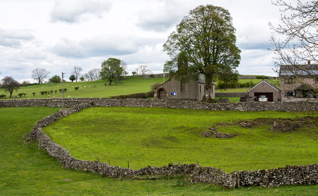
Image: © Trevor Littlewood Taken: 18 Apr 2017
The wall separates grassed areas at the centre of the village of Penruddock. All Saints Church lies beyond, beside the tall tree.
Images are licensed for reuse under creativecommons.org/licenses/by-sa/2.0
Image Location
Latitude
54.641165
Longitude
-2.88656