Four Gun Field, Otterham Quay Lane
Introduction
The photograph on this page of Four Gun Field, Otterham Quay Lane by John Baker as part of the Geograph project.
The Geograph project started in 2005 with the aim of publishing, organising and preserving representative images for every square kilometre of Great Britain, Ireland and the Isle of Man.

There are currently over 7.5m images from over 14,400 individuals and you can help contribute to the project by visiting https://www.geograph.org.uk
Four Gun Field, Otterham Quay Lane
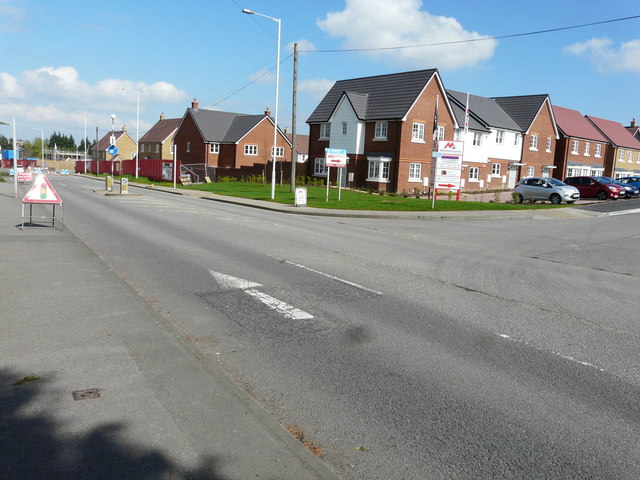
Image: © John Baker Taken: 2 Apr 2017
Planning permission was granted by Swale Borough Council under application number 15/501109/REM for the “approval of reserved matters (pursuant to outline permission SW/12/1243) for the erection of 52 dwellings, open public space with wildlife area (appearance, landscaping, layout and scale being sought)”. Four Gun Field is the name of the housing estate, which is also on the Matthew Homes advertisement board.
Images are licensed for reuse under creativecommons.org/licenses/by-sa/2.0
Image Location


Leaflet Map data © OpenStreetMap
Latitude
51.368711
Longitude
0.627164