Drumnamether Road at the junction of the Moyrourkan Road, Tandragee.
Introduction
The photograph on this page of Drumnamether Road at the junction of the Moyrourkan Road, Tandragee. by P Flannagan as part of the Geograph project.
The Geograph project started in 2005 with the aim of publishing, organising and preserving representative images for every square kilometre of Great Britain, Ireland and the Isle of Man.

There are currently over 7.5m images from over 14,400 individuals and you can help contribute to the project by visiting https://www.geograph.org.uk
Drumnamether Road at the junction of the Moyrourkan Road, Tandragee.
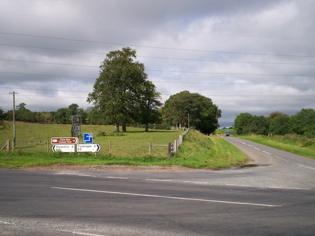
Image: © P Flannagan Taken: 25 Aug 2007
The Drumnamether Road at this junction is one of the spectacular corners on the circuit for the Tandragee 100 Motorbike Road Races.
Images are licensed for reuse under creativecommons.org/licenses/by-sa/2.0
Image Location
Latitude
54.330343
Longitude
-6.455906