View south-west from Kinnoull Hill
Introduction
The photograph on this page of View south-west from Kinnoull Hill by G Laird as part of the Geograph project.
The Geograph project started in 2005 with the aim of publishing, organising and preserving representative images for every square kilometre of Great Britain, Ireland and the Isle of Man.

There are currently over 7.5m images from over 14,400 individuals and you can help contribute to the project by visiting https://www.geograph.org.uk
View south-west from Kinnoull Hill
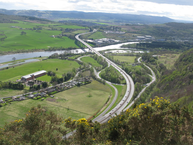
Image: © G Laird Taken: 13 Apr 2017
Looking down towards the point where the A90 becomes the M90 and is about to cross the River Tay by the Friarton Bridge.
Images are licensed for reuse under creativecommons.org/licenses/by-sa/2.0
Image Location
Latitude
56.384556
Longitude
-3.405077