Works access track near Gilwern
Introduction
The photograph on this page of Works access track near Gilwern by M J Roscoe as part of the Geograph project.
The Geograph project started in 2005 with the aim of publishing, organising and preserving representative images for every square kilometre of Great Britain, Ireland and the Isle of Man.

There are currently over 7.5m images from over 14,400 individuals and you can help contribute to the project by visiting https://www.geograph.org.uk
Works access track near Gilwern
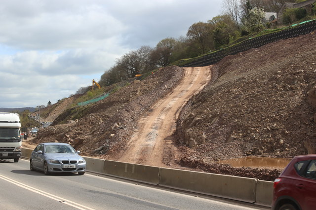
Image: © M J Roscoe Taken: 10 Apr 2017
Dirt track ascending the modified hillside to the new carriageway under construction for the A465. The two carriageways will be at different levels.
Images are licensed for reuse under creativecommons.org/licenses/by-sa/2.0
Image Location
Latitude
51.8193
Longitude
-3.108942