Waymark on the Centenary Circle
Introduction
The photograph on this page of Waymark on the Centenary Circle by Glyn Baker as part of the Geograph project.
The Geograph project started in 2005 with the aim of publishing, organising and preserving representative images for every square kilometre of Great Britain, Ireland and the Isle of Man.

There are currently over 7.5m images from over 14,400 individuals and you can help contribute to the project by visiting https://www.geograph.org.uk
Waymark on the Centenary Circle
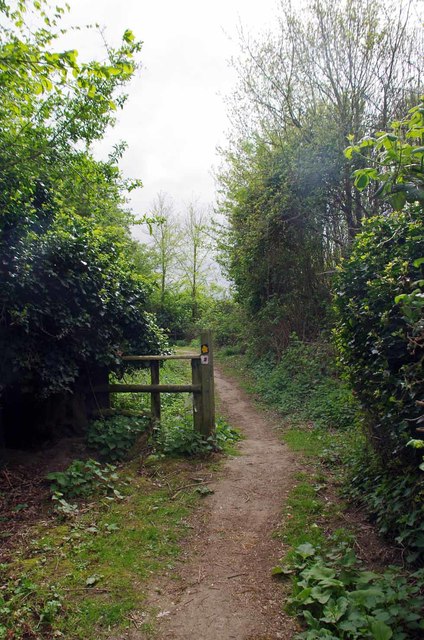
Image: © Glyn Baker Taken: 13 Apr 2017
Not much need for Centenary Circle https://www.ldwa.org.uk/ldp/members/show_path.php?path_name=Centenary+Circle waymarks here as the path is bounded by high fences on both sides!
Images are licensed for reuse under creativecommons.org/licenses/by-sa/2.0
Image Location
Latitude
51.748113
Longitude
0.513662