Towards the tunnel portal west of Penhelig railway station
Introduction
The photograph on this page of Towards the tunnel portal west of Penhelig railway station by Jaggery as part of the Geograph project.
The Geograph project started in 2005 with the aim of publishing, organising and preserving representative images for every square kilometre of Great Britain, Ireland and the Isle of Man.

There are currently over 7.5m images from over 14,400 individuals and you can help contribute to the project by visiting https://www.geograph.org.uk
Towards the tunnel portal west of Penhelig railway station
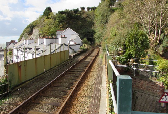
Image: © Jaggery Taken: 17 Oct 2016
Penhelig station near Aberdovey is located between two railway tunnel portals about 220 metres apart. This one is west of the station. The bridge over the A493 Terrace Road is in the foreground.
Images are licensed for reuse under creativecommons.org/licenses/by-sa/2.0
Image Location
Latitude
52.545739
Longitude
-4.037092