Springfield Lock & Basin
Introduction
The photograph on this page of Springfield Lock & Basin by Glyn Baker as part of the Geograph project.
The Geograph project started in 2005 with the aim of publishing, organising and preserving representative images for every square kilometre of Great Britain, Ireland and the Isle of Man.

There are currently over 7.5m images from over 14,400 individuals and you can help contribute to the project by visiting https://www.geograph.org.uk
Springfield Lock & Basin
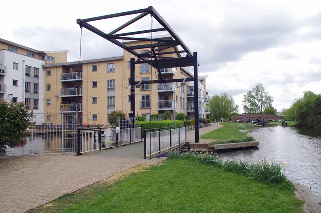
Image: © Glyn Baker Taken: 13 Apr 2017
The interpretation board by the humpback bridge in the background declares that the lift bridge to the basin was designed by noted nineteenth century canal builder John Rennie. Looking at the materials making up the current bridge I have a feeling this is a case of Robert The Bruce’s Axe/Trigger’s Broom ….five new heads and four new handles!
Images are licensed for reuse under creativecommons.org/licenses/by-sa/2.0
Image Location
Latitude
51.729203
Longitude
0.485241