Pond, Laughter Hole
Introduction
The photograph on this page of Pond, Laughter Hole by Derek Harper as part of the Geograph project.
The Geograph project started in 2005 with the aim of publishing, organising and preserving representative images for every square kilometre of Great Britain, Ireland and the Isle of Man.

There are currently over 7.5m images from over 14,400 individuals and you can help contribute to the project by visiting https://www.geograph.org.uk
Pond, Laughter Hole
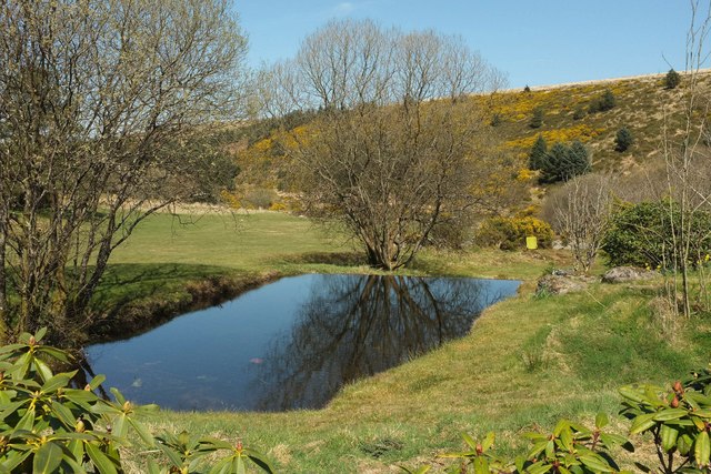
Image: © Derek Harper Taken: 9 Apr 2017
Near the East Dart, and on the stream that passes beneath the bridge shown in Image View from Dartmoor Forest Bridleway 25.
Images are licensed for reuse under creativecommons.org/licenses/by-sa/2.0
Image Location
Latitude
50.56586
Longitude
-3.891027