A nearly forgotten river
Introduction
The photograph on this page of A nearly forgotten river by Bob Harvey as part of the Geograph project.
The Geograph project started in 2005 with the aim of publishing, organising and preserving representative images for every square kilometre of Great Britain, Ireland and the Isle of Man.

There are currently over 7.5m images from over 14,400 individuals and you can help contribute to the project by visiting https://www.geograph.org.uk
A nearly forgotten river
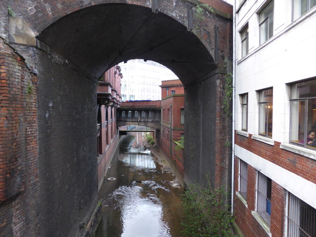
Image: © Bob Harvey Taken: 10 Apr 2017
The River Medlock flows under Oxford Road, and the tall viaduct of the Railway, and even under a footbridge of the old Refuge Assurance building.
Images are licensed for reuse under creativecommons.org/licenses/by-sa/2.0
Image Location
Latitude
53.473809
Longitude
-2.240262