Base of the woods
Introduction
The photograph on this page of Base of the woods by Jonathan Billinger as part of the Geograph project.
The Geograph project started in 2005 with the aim of publishing, organising and preserving representative images for every square kilometre of Great Britain, Ireland and the Isle of Man.

There are currently over 7.5m images from over 14,400 individuals and you can help contribute to the project by visiting https://www.geograph.org.uk
Base of the woods
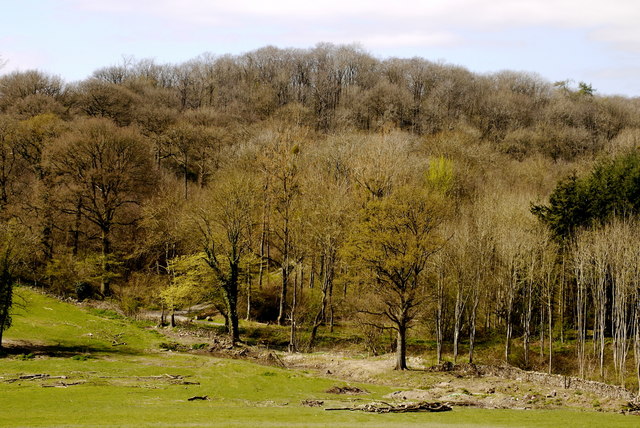
Image: © Jonathan Billinger Taken: 4 Apr 2017
Nurdens Wood (left) and Round Hill Wood (right) meet on the edge of pastoral land deep in the Woolhope Hills.
Images are licensed for reuse under creativecommons.org/licenses/by-sa/2.0
Image Location
Latitude
52.02806
Longitude
-2.549296