View across Mount Edgcumbe farmland
Introduction
The photograph on this page of View across Mount Edgcumbe farmland by Trevor Harris as part of the Geograph project.
The Geograph project started in 2005 with the aim of publishing, organising and preserving representative images for every square kilometre of Great Britain, Ireland and the Isle of Man.

There are currently over 7.5m images from over 14,400 individuals and you can help contribute to the project by visiting https://www.geograph.org.uk
View across Mount Edgcumbe farmland
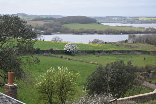
Image: © Trevor Harris Taken: 4 Apr 2017
Taken from the pop deck of a bus. The remains of Mount Edgcumbe mill can be seen towards the right.
Images are licensed for reuse under creativecommons.org/licenses/by-sa/2.0
Image Location


Leaflet Map data © OpenStreetMap
Latitude
50.353823
Longitude
-4.190881