Ham Hall level crossing
Introduction
The photograph on this page of Ham Hall level crossing by Nick W as part of the Geograph project.
The Geograph project started in 2005 with the aim of publishing, organising and preserving representative images for every square kilometre of Great Britain, Ireland and the Isle of Man.

There are currently over 7.5m images from over 14,400 individuals and you can help contribute to the project by visiting https://www.geograph.org.uk
Ham Hall level crossing
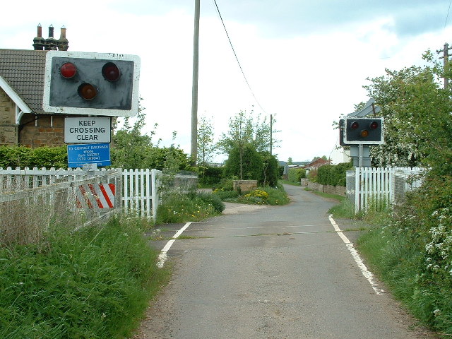
Image: © Nick W Taken: 11 May 2003
On the SE corner of the square - taken just about the time that the Wensleydale Railway were about to get ownership of the line after some 12 years or so of lack or trains
Images are licensed for reuse under creativecommons.org/licenses/by-sa/2.0
Image Location


Leaflet Map data © OpenStreetMap
Latitude
54.318239
Longitude
-1.548008