Rural Waingroves
Introduction
The photograph on this page of Rural Waingroves by sheral wood as part of the Geograph project.
The Geograph project started in 2005 with the aim of publishing, organising and preserving representative images for every square kilometre of Great Britain, Ireland and the Isle of Man.

There are currently over 7.5m images from over 14,400 individuals and you can help contribute to the project by visiting https://www.geograph.org.uk
Rural Waingroves
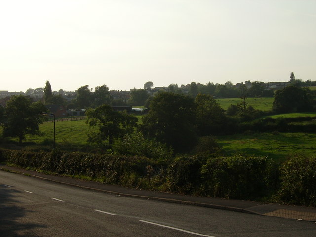
Image: © sheral wood Taken: 22 Aug 2007
Standing on Waingroves Road. The fields in view are frequently used for horses to graze.
Images are licensed for reuse under creativecommons.org/licenses/by-sa/2.0
Image Location
Latitude
53.036298
Longitude
-1.37943